SidneyMap
SidneyMap is the Town of Sidney's web mapping application for the public. This interactive tool puts a wealth of information at your fingertips, including data on individual properties, underground utilities, land-use designation, and more.
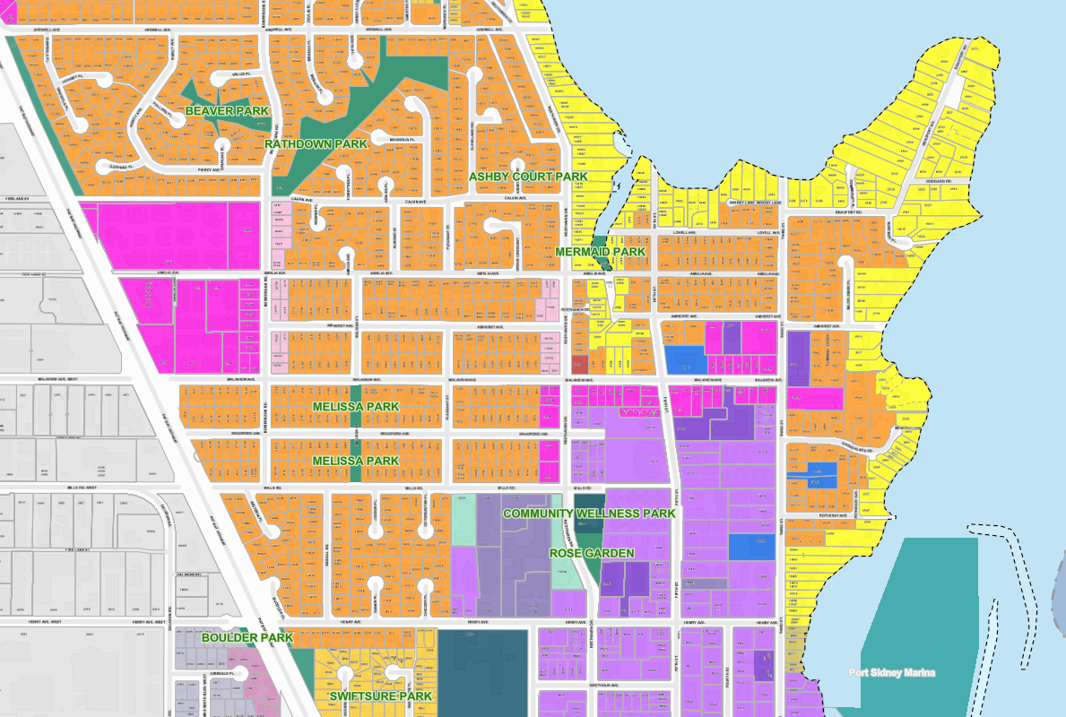
SidneyMap features include:
- Aerial photos dating back as far as 1969, which offer a sense of how the Town has changed over the decades.
- Locations of public amenities, including benches, bike racks, garbage cans, parks, public beach access points, and more.
- Public parking information, including time-restrictions and the location of accessible spaces.
- Information on individual properties from land size, Town utility hook-up locations, zoning and land use designation, scheduled waste collection days, and more. This is also a helpful tool for determining if a property falls within an Environmentally Sensitive Area or Development Permit Area, which can involve regulatory restrictions.
SidneyMap is created by the IT Services Department’s Geospatial Analyst. For more information regarding mapping, please visit the Town Hall during regular business hours or send an email to jjoe@sidney.ca.
PDF Maps
The Town offers online access to the following maps in PDF format.
Map
Description
Boundary, property lines, civic address numbers, lot and plan numbers, lot dimensions
Zone boundaries and collection day information for compostable yard and garden waste
Zone boundaries and collection day information for garbage and kitchen organics
Downtown Sidney public parking information with public parking lots and street parking time limits
Locations and hours of public washrooms in Sidney
Parks, beach accesses, and pathways
On-street cycle routes and paved multi-use pathways
Official Community Plan land use map
Zoning designations and boundaries
Boundaries of sign districts
Street names with index